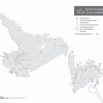
Newfoundland and Labrador without the names map – Explore Canada with ease using our printable maps!
The outline map of Newfoundland and Labrador without the names of major political and geographical features is a simplified yet informative representation of the region’s geography. The map highlights Newfoundland and Labrador’s boundary, coastline, and major water systems, including its lakes and rivers. The map can be used for various purposes, including education, research, and recreational activities. It is a valuable tool for exploring, studying, and appreciating the natural beauty of Newfoundland and Labrador’s water resources.
